
WorksheetPremium
Mapping Echo Pass
Compare a mountain trail map with field notes, judge model designs, and draw a map showing the shapes and kinds of land and water.
Grade 2ScienceInteractive · Printable
Aligned to2-ESS2-2
Or unlock every Premium worksheet with Premium
What’s included
- Single worksheet
- Auto-graded online
- 1 NGSS standard
- Printable answer key
- 12 questions
- Classroom-ready
Details
- Format
- Interactive · Printable
- Grade
- Grade 2
- Subject
- Science
- Question types
- Multiple choice, Matching, Circle the answer, Sorting, Short answer, Drawing
About this worksheet
What students practice
- Students compare a map with observations of the shapes and kinds of land and water.
- Students judge how well map and model designs show an area.
- Students make a labeled map showing land and water shapes and locations.
How to use
Read the field notes together. Have students check the trial map, compare designs, and draw a corrected map using the updated observations.
Curriculum
NGSS standard covered
Make a model or map of the shapes and kinds of land and water in an area.
Preview
OwlSheets.com
Mapping Echo Pass
Compare map designs and make a better map of a mountain trail area.
Plan the Map and Model
Read the field notes. Use them to choose ways to show the land and water.
Echo Pass Field Notes
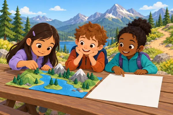
A hiking club wants a map and a small model of the Echo Pass trail area. The map will show the area as if someone were looking straight down from above. The model can have raised parts. On both, the trail entrance will be at the bottom.
The club records these notes: A high mountain with steep sides is in the upper-left part of the area. A broad patch of flat land is in the lower-left part. A lake is on the right. The lake is wider from side to side than from top to bottom. A long, narrow stream runs down from the top of the area and joins the lake.
The mapmakers will use small shapes instead of showing everything at its real size. Their key will name each land or water part. They will check their first design against the field notes before making a final map.
| Land | Water |
|---|---|
- Mountain
- Flat land
- Lake
- Stream
- A. A long, thin strip of blue paper
- B. A broad blue paper patch, wider than it is tall
- C. A tall clay mound with steep sides
- D. A broad, level piece of clay
The preview shows the first questions. Unlock the worksheet to see all of it.
Related worksheets
 Worksheet
Grade 2
Two Bus Yards, One Map
Earth & Space Science · 2-ESS2-2
Premium14 questions
 Worksheet
Grade 2
The Dam Viewpoint Map Chain
Earth & Space Science · 2-ESS2-2
Premium15 questions
 Worksheet
Grade 2
The Bike Shop Ground Map
Earth & Space Science · 2-ESS2-2
Premium14 questions
 Worksheet
Grade 2
A Winter Map for the Firehouse
Earth & Space Science · 2-ESS2-2
Premium13 questions
 Worksheet
Grade 2
Mapping Sunflower Farm
Earth & Space Science · 2-ESS2-2
Free13 questions
 Worksheet
Grade 2
Land and Water Beside the Lacrosse Field
Earth & Space Science · 2-ESS2-2
Premium14 questions